EU Science Hub

Crisis management

Enhanced situational awareness for crisis management.

Contributes to European Commission priorites
  • 24 FEBRUARY 2023
JRC portfolio 25: Crisis management


Related news

Scientific tools

Maps, graphs and everything we need to know on floods, forest fires, droughts, disaster mapping and/or human settlements for early response on natural an man-made disasters. Information based on Copernicus Satellite Imagery, by ESA and the European Commission.

A forum for developing shared, quantitative analysis relevant to humanitarian crises and disasters. INFORM includes organisations from different fields, such as humanitarian and development sector, donors and technical partners.

A repository of scientific publications based on a selection of papers, reports and policy briefs covering different DRM research domains and policy areas produced by the scientists of the Joint Research Center.

The Global Human Settlement Layer (GHSL) project aims to produce and analyse global built-up surface, population density and human settlement thematic maps to understand human presence on Planet Earth.

The Radioactivity Environmental Monitoring (REM) group of the Joint Research Centre of the European Commission provides qualified information about the level of environmental radioactivity to the public, Member States, EC and European Parliament.

A geographic information system (GIS) for European wide risk data and methodologies for disaster risk assessment.

Activities on this topic

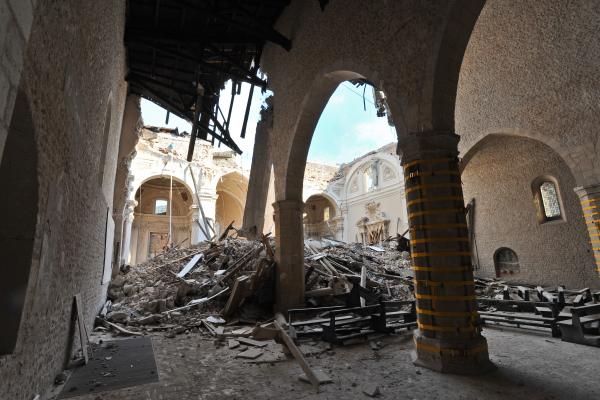
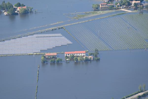
Natural and man-made disasters have significant impacts on society, the environment and economy. We monitor and assesses the risk of disasters such as droughts, floods, forest fires, earthquakes, tsunamis, cyclones and dispersion of radioactive gases

The JRC’s work on the nuclear science base for standardisation includes neutron data, targeted alpha therapy which helps with the fight against cancer, fundamental properties and behaviour and actinides, and structural and nuclear materials