The LUISA Territorial Modelling Platform is primarily used for the ex-ante evaluation of EC policies that have a direct or indirect territorial impact. It is based on the concept of ‘land function’ for cross-sector integration and for the representation of complex system dynamics. Beyond a traditional land use model, LUISA adopts a new approach towards activity-based modelling based upon the endogenous dynamic allocation of population, services and activities.
LUISA can be configured to project a baseline (or rerefence) scenario , assuming official socio-economic trends (from ECFIN and EUROSTAT), business as usual processes, and the effect of established European policies with direct and/or indirect territorial impacts. Variations to that reference scenario may be used to estimate impacts of specific policies, or of alternative macro-assumptions. This highly flexible and customisable structure of LUISA makes it a suitable tool for providing insights to policy-makers in Europe regarding landscape, urban areas, investment policies, environment and, more broadly, aspects pertaining to sustainability and territorial cohesion.
LUISA is based upon the notion of land function – a new concept for cross-sector integration and for representing complex system dynamics. LUISA aims to contribute to the understanding, modelling and assessment of the impacts of land functions dynamics as they interact from local to global scales in the context of multiple and changing drivers. A land function can, for example, be societal (e.g. provision of housing, leisure and recreation), economic (e.g. provision of production factors - employment, investments, energy – or provision of manufacturing products and services – food, fuels, consumer goods, etc) or environmental (e.g. provision of ecosystem services). Land functions are temporally and spatially dynamic, and are constrained and driven by natural, socio-economic, and techno-economic processes. The ultimate product of LUISA is a set of spatially explicit indicators that can be combined according to the ‘function’ of interest and/or to the sector under assessment.
This is notably a wider notion of just “land use modelling” and of what so far has been referred to in literature.
LUISA is a de-facto integrative tool because of its coherent linkages with macroeconomic and biophysical models and with thematic databases. The ultimate product of LUISA is a set of territorial indicators that can be grouped and combined according to the ‘function’ of interest and/or to the sector under assessment.
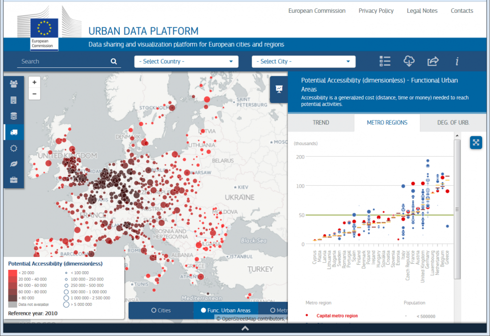
LUISA produces urban indicators at various levels of aggregation , as input to the Urban Data Platform.

LUISA is a key element of the Knowledge Centre for Territorial Policies.

