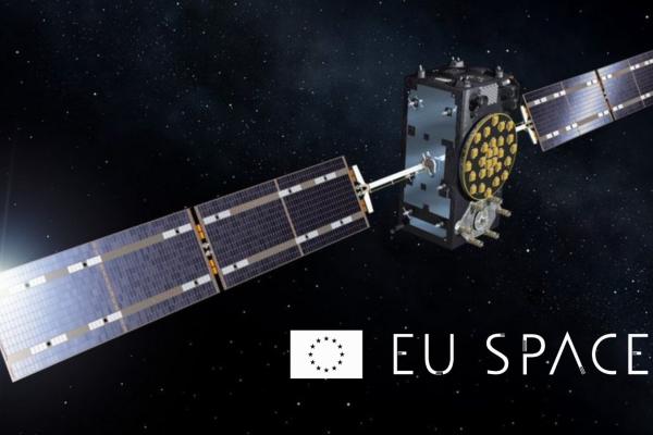
Navigation is one of the most used features on our smartphones. It is enabled by space technology known as Global Navigation Satellite Systems (GNSS) – constellations of satellites orbiting at about 20,000 km above Earth. Of these, Galileo and EGNOS are owned and maintained by the European Union.
What might be less obvious is how critical GNSS is to our everyday lives. Galileo and other GNSS, like the American GPS, provide both position and timing anywhere across the globe.
The hidden utility
Time synchronisation, as provided by satellite, is essential for the working or power grids, financial services, and mobile networks. Satellite navigation, on the other hand, is critical for aviation, road transport, and other essential infrastructures.
This space technology is often referred to as the ’invisible utility’, as so many services rely on it to function properly. Today, around 10% of the EU GDP relies on the use of GNSS services, and the trends suggest that this will continue to increase.Following paragraphs
Complementary Position, Navigation and Timing (PNT)
The continuous and uninterrupted provision of precise positioning and timing is already indispensable for our economy. However, in the future even more services will require the use of PNT – from the servers managing social media and the internet, to autonomous systems, self-driving cars, and drone last-mile package delivery.
Due to its prevalence, GNSS may also attract the attention of malicious actors that may try to compromise it. While this possibility is extremely low, the effects of any outage would be far-reaching and potentially very damaging to the European economy.
The European Radio Navigation Plan (ERNP) 2023 was developed by the European Commission. Now finalised and published in five languages, it aims to identify future trends and challenges, also outlining how the EU PNT ecosystem (otherwise known as Complementary PNT) can become more resilient by utilising multiple sources of position and time.
The ERNP draws on the expertise of JRC researchers and on the results of a testing campaign conducted across the JRC campus in Ispra, Italy. This testing campaign was instrumental in better understanding the emerging PNT technologies, their strengths, and how multiple systems can work together in the future EU PNT ecosystem.
Related links
Details
- Publication date
- 23 January 2024
- Author
- Joint Research Centre
- JRC portfolios