Acronym
GMIS

© EU
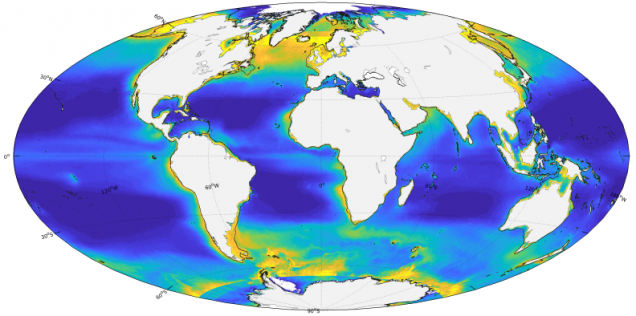
The Global Marine Information System (GMIS) is a geo-portal application that provides access to spatial, temporal, physical and biological marine variables, and related environmental information, derived from satellite remote sensing.
A spatial marine database
- Geographical extent: Lat. 90°N – 90°S & Lon. 180°W – 180°E
- Datasets spacial resolution: 4 & 9 km
- Time resolution: monthly
view details
Sensors
- MERIS (Medium Resolution Imaging Spectrometer)
- MODIS (Moderate Resolution Imaging Spectroradiometer)
- SeaWIFS (Sea-Viewing Wide Field-of-View Sensor)
- PATHFINDER
Satellite derived products
- Chlorophyll concentration
- Sea Surface Temperature
- Primary Production
- PAR
- IOPs, etc.
Environmental marine indicators
- Chl-a anomalies
- SST anomalies, etc.
Metadata
An OGC’s Catalogue Service for the Web (CSW) is available as standard end-point (version 2.0.2) by the JRC Data Catalogue.
Contact
JRC-EMIS ec [dot] europa [dot] eu (JRC-EMIS[at]ec[dot]europa[dot]eu)
