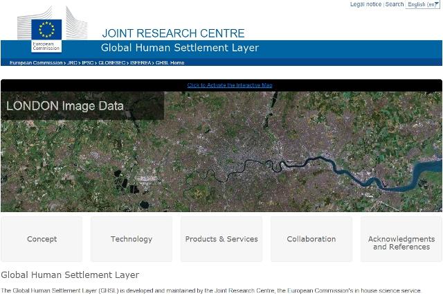
In fact, GHSL thematic maps are used to address urbanisation, disaster risk reduction, and sustainable development issue at different scales. Built-up surface maps are generated by processing Landsat image archives dating back to 1975 and newly available Copernicus Sentinel imagery.

Population density maps are generated by combining population census statistical data and built-up maps. Human Settlement maps outline cities, urban and rural areas by using the Degree of Urbanisation definition that was developed jointly by the European Commission, OECD, World Bank. FAO, UN Habitat, ILO and endorsed by the UN Statistics Division.
GHSL data are extensively used by scientists, decision makers and practitioners to address International Framework Agreement including New Urban Agenda, Sendai Framework for Disaster Risk Reduction, the Paris Agreement and the Sustainable Development Goals.
Future GHSL data release will be produced under the new Copernicus Emergency Management Service Exposure Mapping Component.
