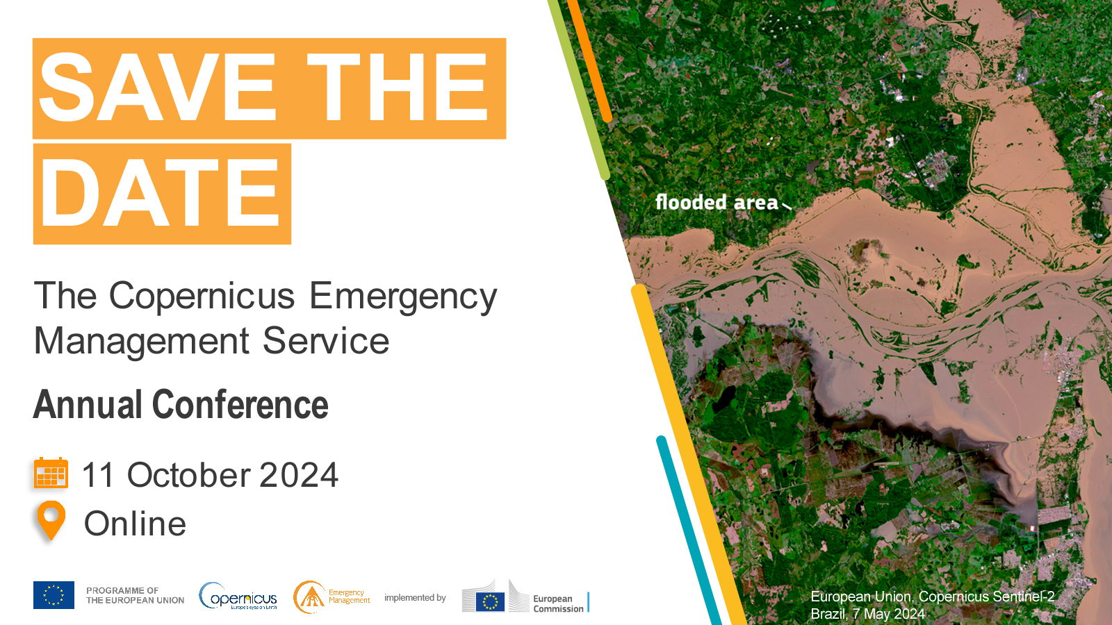
The annual conference will focus on how early-warning and monitoring data - on droughts, wildfires, floods, emergency mapping and population exposure - provided by the JRC's Copernicus Emergency Management Service (CEMS) can support a wide range of policies and help build disaster risk management strategies.
- During the morning, JRC experts will show how CEMS has been delivering early-warning and monitoring insights on floods, wildfires and droughts
- In the afternoon, practical sessions will provide an opportunity for attendees to learn how to use CEMS dashboards to extract personalised data that suits their needs
Registrations will open in September.
- crisis management | natural disaster | disaster risk reduction | wildfire | drought | flood | population dynamics | emergency response
- Friday 11 October 2024, 09:15 - 17:00 (CEST)
- Online only
Practical information
- When
- Friday 11 October 2024, 09:15 - 17:00 (CEST)
- Where
- Online only
- Who should attend
- Policy officers, media, researchers, practitioners, general public
- Languages
- English
- Organisers
- Joint Research Centre | Copernicus EU
Description

You're invited to the Copernicus Emergency Management Service (CEMS) annual conference to discover how CEMS can help raise awareness of natural hazards, contribute to disaster risk strategies or help strengthen policy.
During the morning session, we will show how CEMS has been collaborating with European Commission Directorates-General, Member and Participating States - and the international community - by delivering early-warning and monitoring insights on floods, wildfires and droughts.
You'll discover how detailed, high-resolution emergency maps are helping to assess risks, prepare and react to disasters like earthquakes, cyclones and landslides, among others. Also how CEMS systems help identify hazard-vulnerable populations and support resilient urban planning.
In the afternoon, you'll be able to join hands-on workshops and learn how to source, personalise and use CEMS data.
Background
- The Copernicus Emergency Management Service (CEMS) is part of Copernicus, the European Union's Earth observation programme
- CEMS watches over Europe and the rest of the world to detect (signs of) disasters by using and modelling satellite information and ground observations
- Scientists working at the European Commission’s Joint Research Centre are responsible for implementing CEMS
Contacts
General contact
- Organisation
- Copernicus Emergency Management Service
- EU-COPERNICUS-EMERGENCY
 ec [dot] europa [dot] eu
