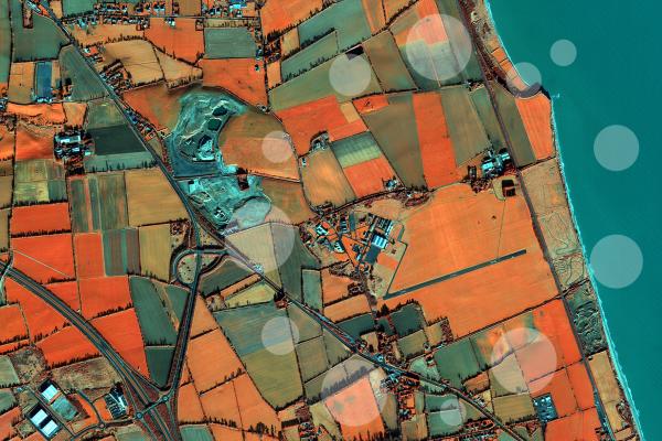
Measuring and anticipating the effects of future natural hazards is important in order to implement measures to mitigate the effects of disasters. In all phases of crisis management, satellite-derived information plays an essential role as a synoptic, independent and objective source. The JRC's research focuses on the automatic analysis of satellite data to provide information products and analyses for more effective disaster risk reduction and conflict prevention, as well as evaluating the needs for post-disaster response, recovery and reconstruction planning.
The JRC is working on a global human settlements map to identify in a consistent way all populated places in the world, be it cities or small rural villages. For more information: Global Human Settlement Layer
The JRC has also developed methodologies to automatically analyse high and very high resolution satellite images in order to quantify the building stock. By deriving the building height and estimating the building age and characteristics, it is possible to have an indication of human presence, which is valuable information both for risk assessment activities and for emergency rescue operations.
The JRC also supports the Emergency Management Service of the Copernicus programme. It’s objective is to support users in the field of crisis management by providing them with information based on space data combined with other sources of data. It addresses both disasters caused by natural hazards and man-made hazards inside and outside the EU.
Characterising and monitoring populations in disaster hot spots
Early warning approaches must be accompanied by efforts to understand, assess and ultimately reduce exposure and vulnerability of physical assets and population to disasters. Being able to detect where growing concentrations of population, especially the more vulnerable (e.g. slums or poorer districts), are located in urban disaster hot spots and being able to characterise physical exposure are fundamental inputs for disaster risk assessments. The JRC addresses the gaps in the availability of appropriate and consistent physical exposure data in Europe and world-wide through its Global Human Settlement Layer, which can detect, characterize and monitor human settlement related parameters in both urban and rural settings. The Global Human settlement analysis system also allows the monitoring and characterisation of urban growth and urban sprawl which are important drivers in disaster risk.
Emergency mapping
Over several years, the JRC’s research has addressed the rapid identification of the location and extent of post-disaster damage in remotely sensed data such as satellite imagery, helping EC services to plan relief and assistance measures. For example, within few days after the typhoon Haiyan in the Philippines in 2013 the JRC produced reference and rapid damage assessment maps covering the most affected areas. Today, the JRC also technically coordinates the Emergency Management Service of the Copernicus programme, which provides all actors engaged in civil protection and emergency response with timely and accurate disaster geo-spatial information and maps on the basis of remotely sensed data complemented by in-situ data when available.
Recovering after a disaster
The EU is committed to improve its capacity to respond to disasters and supports international cooperation in assessing recovery needs and planning recovery measures in post-disaster situations. In this direction, the European Commission, the United Nations Development Group and the World Bank established in 2008 a platform for partnership and action to strengthen coordination for early response capacities, as well as for recovery planning. The JRC contributed to this process with the development of a Guide to a multi-stakeholder needs assessment recovery framework (PDNA) for decision-makers to use during the early phases of disaster recovery planning. The guide includes sector specific tools developed by the partners of the joint declaration including the JRC's approaches for damage assessment from remotely sensed and other data sources.
One of the first major disasters where the PDNA framework made notable use of scientific-based evidence drawing upon remotely-sensed and other in-situ data was the Haiti earthquake disaster in 2010, where the JRC, together with the World Bank's Global facility for disaster risk reduction (GFDRR) and the United Nations UNOSAT, jointly produced detailed damage assessments and statistics for the most affected locations to support the Haitian government led PDNA, which fed into the Action Plan for National Recovery and Development of Haiti.