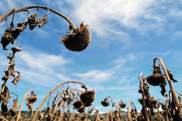
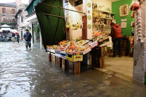
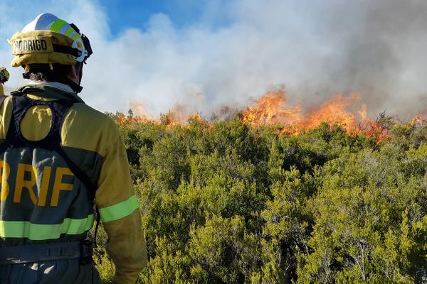
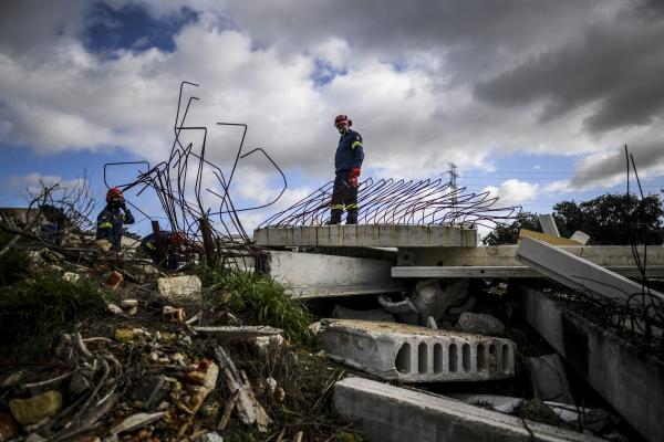
Natural and man-made hazards include droughts, desertification, floods, landslides, wildfires, earthquakes, tsunamis or cyclones. The dispersion of radioactive gases in the atmosphere, or technological accidents - like oil plants or gas pipelines damaged by a natural hazard and releasing hazardous materials or gases - can also be accounted for.
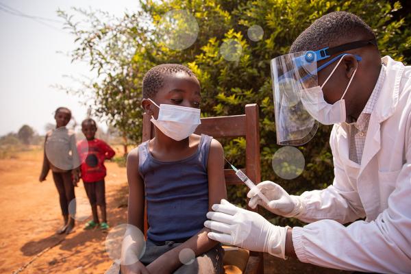
All these have significant social, environmental and economic impacts which need to be measured to effectively support response strategies and mitigation and adaptation measures. We carry out research to support EU policies related to the hazards above and to broader trends in the areas of climate change, sustainable management of natural resources, water, food security, disaster risk reduction and response, among others.
JRC's scientific work on natural and man-made hazards
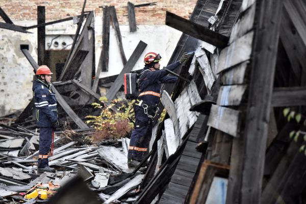
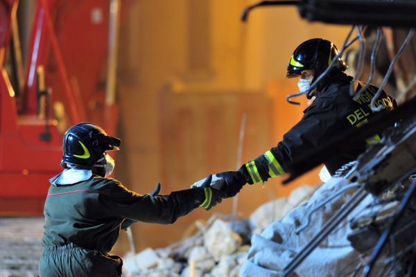
At JRC we provide scientific support across all phases of the crisis management cycle - from the preparedness stage to the prevention, disaster risk reduction, emergency response and recovery ones. In this way, we support EU resilience to man-made and natural disasters by:
- Anticipating future events to help prevent these phenomena from happening or to limit their impact thanks to our early-warning and monitoring systems;
- Using our systems and algorithms we produce new knowledge that helps EU countries and international partners prepare for and respond to disasters;
- Carrying out in-depth research studies that support EU policies - some examples include assessing the most cost-effective flood adaptation measures in Europe, how wildfire emissions contribute to Europe's overall greenhouse gas emissions (EDGAR project) or how analysing how climate risks can affect financial models;
- Providing geospatial information within hours or days of a service request to support emergency management activities in the immediate aftermath of a disaster - see the Copernicus Emergency project below.
JRC tools, knowledge and services
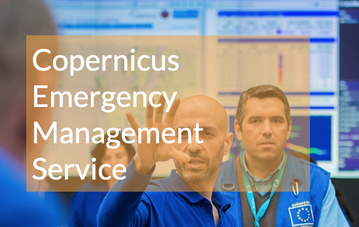
The Copernicus Emergency Management System, operated by the JRC, assesses and monitors droughts, forest fires and floods.
Copernicus Emergency Management System
The European Commission Disaster Risk Management Knowledge Centre integrates existing scientific multi-disciplinary knowledge and co-develops innovative solutions to help us anticipate to these disasters while accounting for other socio-economic variables.
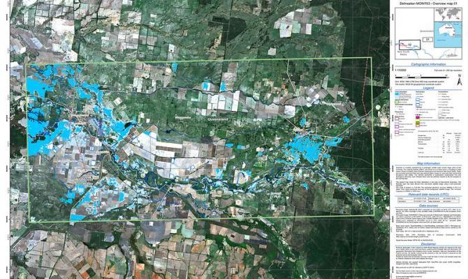
JRC provides emergency responders with on-demand detailed geospatial information for selected emergency situations that arise from natural or man-made disasters anywhere in the world.