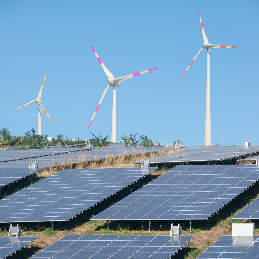
In line with the REPowerEU communication and the revised EU rules on renewable energy published today, EU Member States are required to map suitable land and sea areas for renewable energy project. This means designating ‘renewables go-to’ areas, and avoiding environmentally valuable areas.
The Commission has made available relevant datasets in the Energy and Industry Geography Lab online platform to support Member States in identifying these go-to areas. This will help in the rapid deployment of new installations for the production of energy from wind and solar renewable sources.
The platform was developed by the Joint Research Centre and launched in December 2021. It brings together a wealth of information on relevant energy, industry and environmental factors to support infrastructure planning for the energy transition.
The Energy and Industry Geography Lab enables the management and visualisation of spatial data related to our energy, industrial, and other relevant infrastructure (for example roads and ports), along with underlying baseline data. The Energy and Industry Geography Lab also hosts socio-economic information e.g. data on employment, population and economic indicators and technical potential of renewables.
The Energy and Industry Lab now also includes EU-level data on Natura 2000 sites, nationally designated protected areas, ecologically or biologically significant marine areas, important bird areas, key biodiversity areas, underwater noise, peatlands and wastewater treatment plants.
The tool is intended as an enabling and empowering instrument to support planning choices by national and regional authorities who may not otherwise have immediate access to these datasets. It seeks to complement the relevant legal framework by making available information relevant to the implementation of existing legal obligations.
In the coming months, more information and data will be added to aid the identification of go-to areas.
The PVGIS Photovoltaic Geographical Information System tool, developed and maintained by the Joint Research Centre, provides information about solar radiation and photvoltaic (PV) system performance for any location in Europe. Citizens and installers can use it for an instantaneous assessment of the potential to generate solar energy on rooftops.
Background
In its communication of 8 March 2022 “REPowerEU: Joint European Action for more affordable, secure and sustainable energy” the Commission calls on Member States to swiftly map, assess, and ensure suitable land and sea areas that are available for renewable energy projects. This should be in line with their national energy and climate plans, the contributions towards the revised 2030 renewable energy target and other factors such as the availability of resources, grid infrastructure, and the targets of the EU Biodiversity Strategy.
The ’renewables go-to areas’ are specific locations, whether on land or sea, particularly suitable for the installation of plants for the production of energy from renewable sources, other than biomass combustion plants, where the deployment of a specific type of renewable energy is not expected to have significant environmental impacts.
This new tool is one of several developed by the JRC to support the green transition. One other example is the PVGIS Photovoltaic Geographical Information System tool provides information about solar radiation and photvoltaic (PV) system performance for any location in Europe. Citizens and installers can use it for an instantaneous assessment of the potential to generate solar energy on rooftops.
Sources
Details
- Publication date
- 18 May 2022
- Author
- Joint Research Centre
