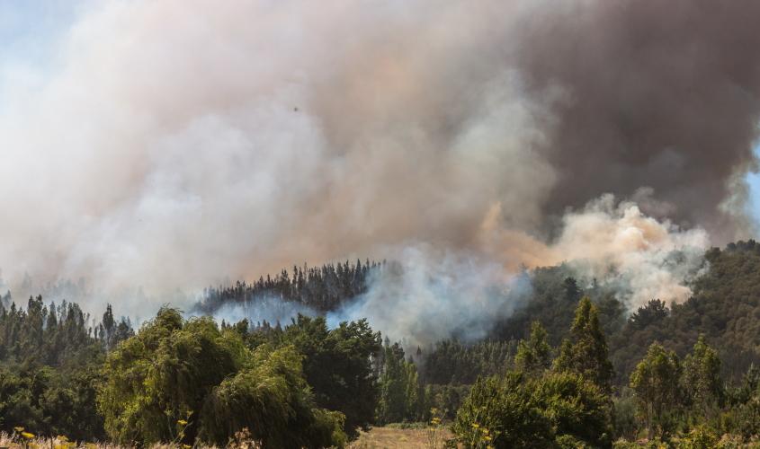
The Joint Research Centre has developed country profiles under the Global Wildfire Information System (GWIS) helping to support wildfire management and disaster risk reduction globally but in particular, in the Latin American and Caribbean (LAC) region.
These profiles provide information on the geographic distribution of wildfires, burnt areas and emissions, and assess wildfire regimes and impacts at country and sub-country level for all continents worldwide.
Commissioner for Innovation, Research, Culture, Education and Youth, Mariya Gabriel, said: "Wildfires can have catastrophic consequences on the environment and on people. The country profiles designed by the Joint Research Centre will contribute to the risk assessment and mitigation of this danger, proving how science can help improve and protect lives and our planet."
Mette Wilkie, Director of the Forestry Division, FAO said:
"The opportunity for countries around the world to assess their national fire situation through the Wildfire Country Profiles of GWIS is fundamental to understanding fire risk and underpinning plans to mitigate the effects of wildfires. These efforts are critical to the achievement of Sustainable Development Goals related to climate change mitigation, biodiversity conservation and sustainable livelihoods. FAO looks forward to continuing collaboration with the EC through JRC and GWIS, particularly in Latin America and the Caribbean."
Leo Heileman, UN Environment Programme's Regional Director for Latin America and the Caribbean said:
"UNEP is delighted to support, along with FAO, a new information system that will improve wildfire management and strengthen disaster risk reduction in Latin America and the Caribbean, including the Amazon region. This kind of initiatives are part of an upgraded framework of cooperation agreed in February 2021 between the European Commission and UNEP aimed to step up efforts to tackle the climate, biodiversity and pollution crises, thus supporting countries build a healthier and more inclusive and resilient future for all."
Steven Ramage, Head of External Relations at the GEO Secretariat said:
"The Group on Earth Observations (GEO) welcomes the development of the GWIS country profiles by the European Commission’s Joint Research Center (JRC). This application is a unique resource to enhance wildfire prevention, preparedness and effectiveness in wildfire management. It provides access to critical wildfire information for governments and practitioners alike to prepare and respond to natural hazards.
GWIS is one of the most successful collaborative initiatives within the GEO Work Programme, providing Earth observations data and tools to enable informed national responses in the context of the Sendai Framework for Disaster Risk Reduction and the Paris Agreement on climate change."
This information is essential to allow a global assessment of wildfire risk and to mitigate the effects of wildfires on land degradation, deforestation, or biomass burning emissions.
They contribute to shaping appropriate policies, reducing community exposure, mitigating damage and increasing resilience to wildfire events. These GWIS services also contribute to the implementation of Sustainable Development Goals (SDGs), reducing the impact of climate change and disaster risk.
These country profiles are part of the new European Commission initiative to support wildfire management and disaster risk reduction globally and in particular in Latin America and the Caribbean.
This JRC action will fit into a comprehensive approach by the EU to support conservation and sustainable development of the Amazon forests.
There are at present more than 50 EU programmes on this regional priority, and the new budget for global Europe will also cover a specific Amazon strategy, coordinated with EU Member States.
This will be implemented in collaboration with the EU Delegations in the LAC region, supporting forthcoming EU programs in the region under the EU Green Deal strategy.
Through a Team Europe Initiative for the Amazon basin, coordinated actions in the field of forest conservation, sustainable agriculture, and environmental governance, will strengthen the impact and use of the GWIS services.
GWIS builds on the European Forest Fire Information System (EFFIS) of Copernicus as is being further developed together with Group on Earth Observations (GEO) and the U.S. National Aeronautics and Space Administration (NASA), and in close collaboration with the UN Food and Agriculture Organization (FAO) and the UN Environmental Program (UNEP). The GWIS country profiles application has been developed with the support of the NASA Earth Science and Applied Sciences GEO GWIS program and in close collaboration with scientists from the University of Idaho and Michigan State University.
Related Content
Global Wildfire Information System
Global Wildfire Information System (GWIS) – country profiles
Details
- Publication date
- 22 March 2021
