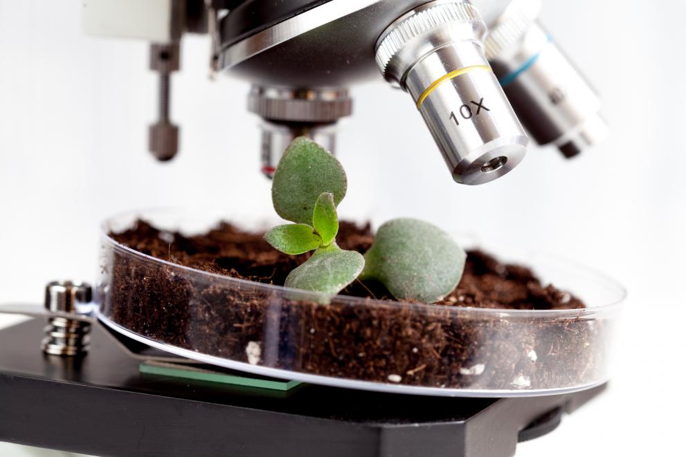
Ten years of planning and sampling has led to the creation of the largest harmonised European soil dataset, and the JRC is ready to carry out the most comprehensive assessment of soil biodiversity across the continent.
Soil scientists at the JRC have been busy gathering and analysing soil samples from across the Europe.
Around 22 000 samples were collected from all European Union (EU) Member States in 2009-2012, while a further 23 000 samples were acquired in 2015 from the EU, Switzerland and Western Balkan countries.
Scientists are now concluding the process of analysing the physico-chemical soil properties of the second batch. Once completed, the JRC will be able to carry out assessments of how the impacts of EU and national land based policies - such as those designed to tackle climate change and the Common Agricultural Policy (CAP) - are manifested through changes in soil characteristics over time.
The assessment includes things like the physical and chemical properties of the soil, biodiversity, density, structure and pollutants present.
The soil sampling is done within the framework of a European-wide survey entitled LUCAS (Land Use/Land Cover Area Frame Survey), which is coordinated by the EU Statistical Office, EUROSTAT, and aims to assess changes in land cover and land use across the EU every three years.
A new LUCAS campaign will be organised in 2018, which will also include soil sampling at 26 000 locations.
While several new exciting soil parameters will be measured in the next survey, there is particular interest is the collection of data on soil biodiversity so that they can be integrated with land use information and the soil properties, such as texture, pH, organic carbon and nitrogen content, measured so far.
"This will make LUCAS SOIL the first ever pan-European assessment of soil biodiversity and one of the largest continental assessments of soil life at global scale. It is extremely exciting as it represents a unique opportunity to develop baseline maps of soil biodiversity at European scale.
It also represents a great opportunity to finally contribute to and realise a global soil biodiversity assessment ", said JRC soil scientist Alberto Orgiazzi.
The success of the JRC’s Global Soil Biodiversity Atlas demonstrates an increasing interest in, and awareness of, soil life not only among scientists but also among policy makers. The JRC plans to build on this by analysing the biodiversity of soil organisms from 1 000 locations by means of DNA-fingerprinting techniques.
JRC researchers are in contact with researchers responsible for similar projects in other continents (Biome of Australia Soil Environments, African Soil Microbiology Project and China Soil Microbiome Initiative) in order to build synergies, combine results and to generate a first ever global soil biodiversity assessment.
The JRC has also launched a call for support and collaboration on soil biodiversity assessment. Through this call, scientists can propose strategies for large-scale DNA fingerprinting of soil organisms and actively contribute to both the LUCAS Soil and other global soil biodiversity assessments.
This JRC initiative represents an innovative way to make research more open and shared in order to shed light on the complex – yet essential – systems that soils are. Researchers can declare their interest to contribute to the project through this table.
JRC scientists confirm the need for open-access and a large-scale soil data to facilitate science-driven decisions on the EU environmental and economic agenda. And therefore, one of the most important features of the LUCAS soil project is the totally open access to all data.
Hosted by the European Soil Data Centre (ESDAC), the dataset also contains all data products – including over 20 maps – that were created by the scientific team on the basis of the data obtained during the analysis of earlier surveys.
The flexibility of adding new parameters to meet direct policy demands, together with the regularity of the LUCAS programme and increasing sampling locations, gives LUCAS SOIL the potential to be Europe’s, or eventually the world’s, largest harmonised and expandable soil dataset.
Related Content
LUCAS Soil, the largest expandable soil dataset for Europe: a review
Details
- Publication date
- 5 January 2018
